Agriculture
விவசாய சேவைகள்
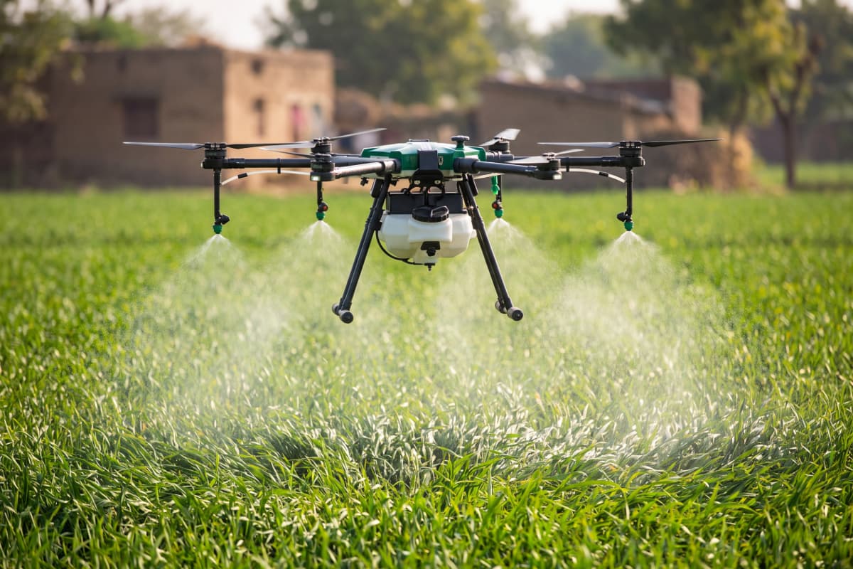
Spraying, seed broadcast and crop monitoring that cut chemical use and cover acres in minutes.
Learn more →DAERO operates precision drones for agriculture, survey & mapping, LiDAR and thermal inspection — turning every flight into accurate, decision-ready results for farms, industry and government.
Per-acre spraying, seed broadcast and crop monitoring for farmers, FPOs and Custom Hiring Centres — save inputs, save time.
Agriculture services →Survey-grade mapping, LiDAR and thermal inspection for construction, solar, utilities, land records and GIS.
Survey & inspection →Each service is built around the result you need — not the hardware we fly.
Spraying, seed broadcast and crop monitoring that cut chemical use and cover acres in minutes.
Learn more →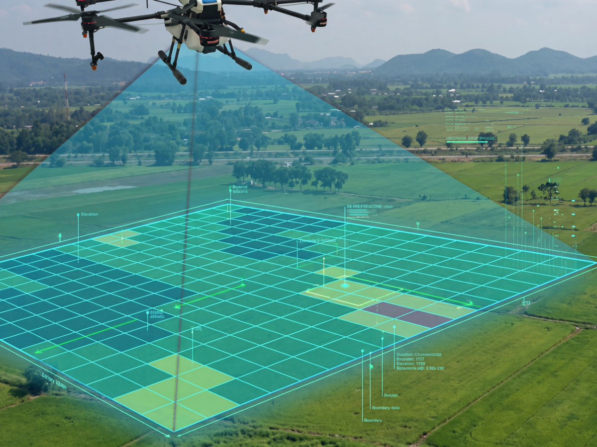
Orthomosaics, contours, volumetrics and topographic surveys with centimetre-level accuracy.
Learn more →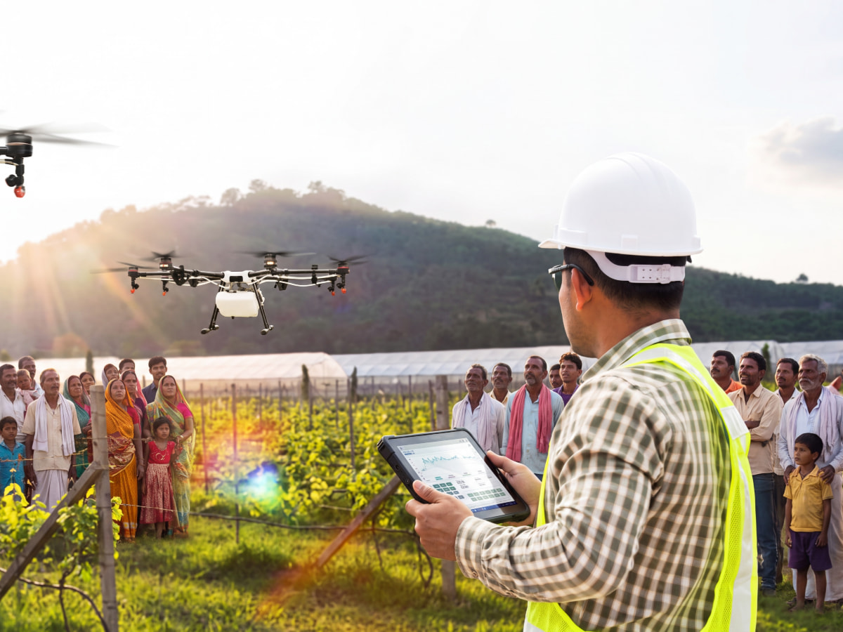
Dense 3D point clouds and bare-earth terrain models — even under vegetation and along corridors.
Learn more →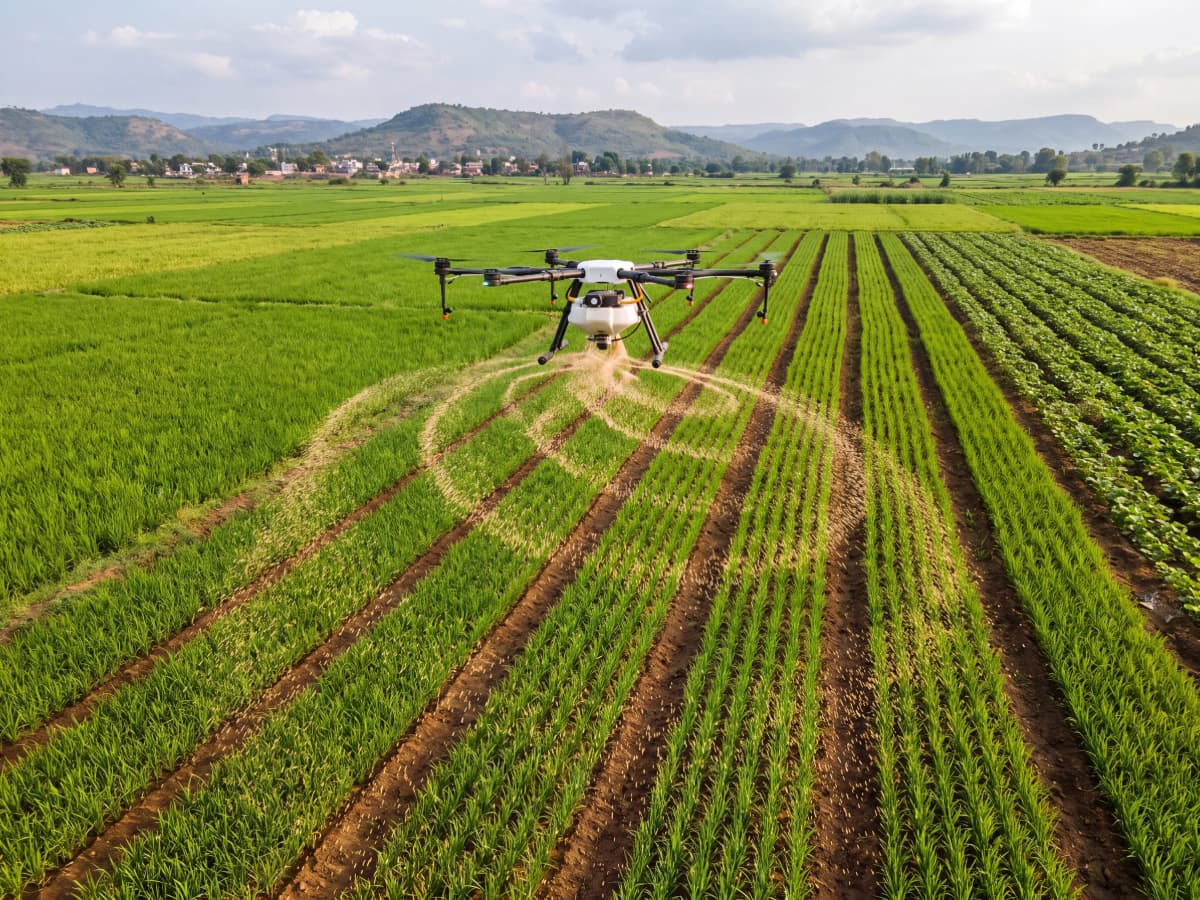
Radiometric thermal scans that find faults in solar farms, power lines and buildings — fast and safely.
Learn more →Government, enterprise and farm buyers care about one thing: reliable results. That's what we plan every mission around — clean data, on time, handled safely and compliantly.
Real results win contracts. Add 3–4 completed projects here with numbers and locations.
Replace with a real completed job + 1–2 metrics.
Replace with a real completed job + 1–2 metrics.
Replace with a real completed job + 1–2 metrics.
Tell us your location and scope — we'll send timing and a quote.